
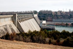
Bull Shoals, population 1,950 (2010 U.S. Census), is in north central Arkansas about 10 miles south of the Arkansas-Missouri state line. Primarily a retirement and vacation center, Bull Shoals is bordered in three directions by a clear, deep, man-made lake of the same name, Bull Shoals Lake.
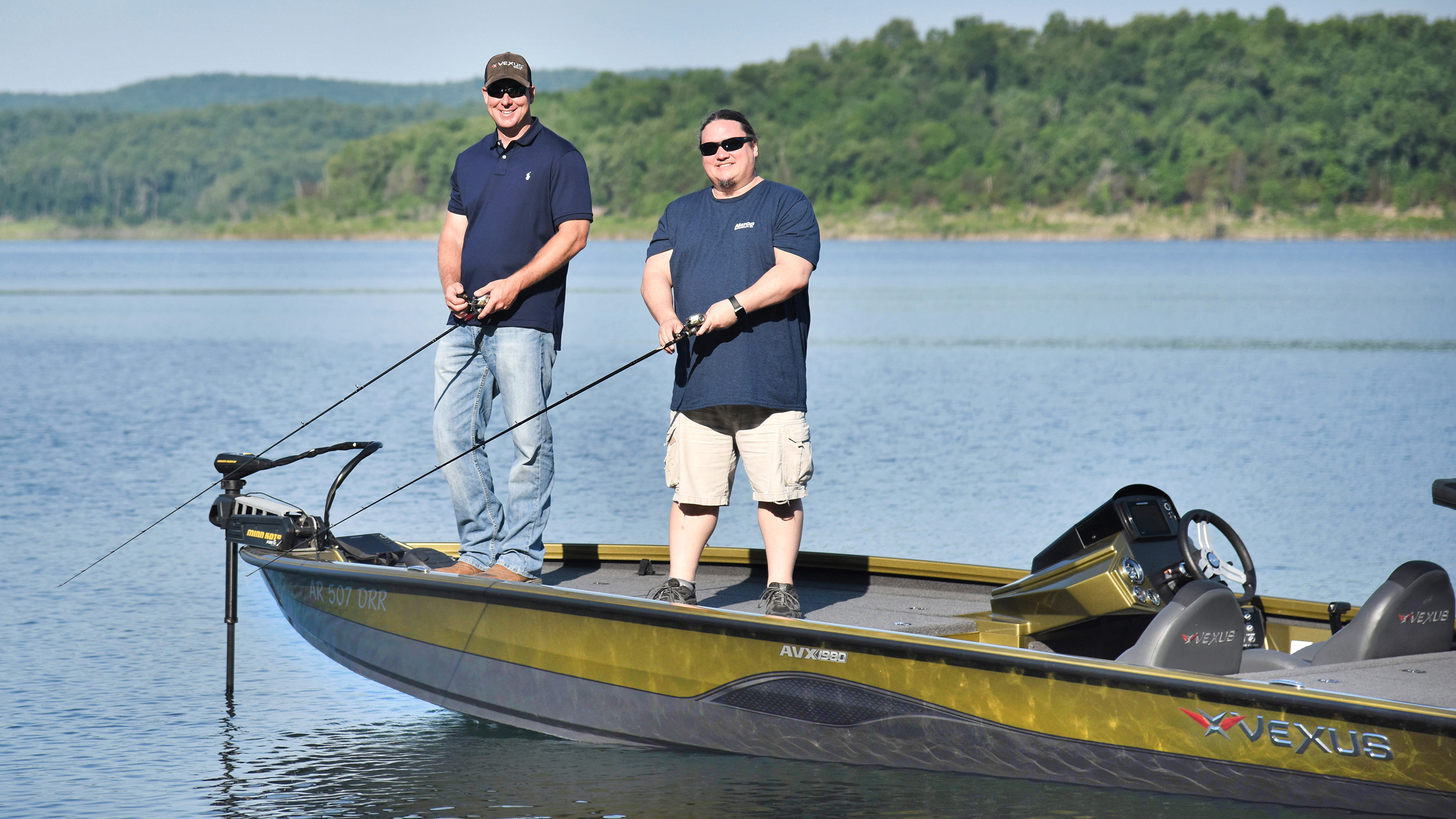
 Bull Shoals Lake is the hub of activity for the people of the South Shore communities and our many visitors. The smooth, clean waters are perfect for boating, fishing, swimming, and water sports. Our green, shady parks and campgrounds make for a peaceful getaway for nature lovers. Small businesses supply the needs of the townspeople and vacation attractions focus on the natural environment and the land's features and history. Northern Arkansas Telephone Company (NATCO) provides Fiber-to-the-Home Internet access of up to 1Gbps, bringing a world of opportunities to this rural community.
Bull Shoals has been honored as an Arkansas Volunteer Community of the Year several times. Activities of the following organizations contribute to the achievement: Bull Shoals Theatre, Parks Committee, Historical Society, Cemetery Board, VFW, Library Board, Police Auxiliary, Fire Department Auxiliary, Meals on Wheels, Lions Club, Rotarians, Chamber of Commerce, Bull Shoals churches, and the people of Bull Shoals.